The beach below the high-tide line is open to everyone; getting to it isn’t always. These are places where a legal road or public land reaches the shore, plus wharves and boat ramps, each with whether today’s swell and wind reach it.
Find a place
Uses your location in this browser only; nothing is sent to us.
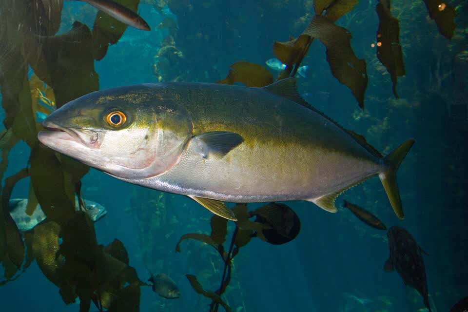
The powerful yellowtail of the north: a target to work up to, not a first fish.
Fishing with a drone
The flying, launching and wildlife rules for taking a line out by drone, each in the words of the body that sets it, and a check on whether your drone will get out and home in today’s wind. Drone fishing: the rules and a range check
How we tell whether a place is sheltered
Swell only reaches a shore across open water. For every place we measured how far the open sea runs in front of it in 36 directions, to the first land. When the day’s swell comes from a direction with tens of kilometres of open water, it reaches the place; from behind a headland or an island, it doesn’t. Wind is onshore when it blows in off that open water. Anglers have always picked the sheltered side of a bay this way; we do the looking for every place, every day.
The swell is the open-sea forecast. Reefs, bars and the shape of a bay change what reaches the shore, so look before you trust it.
Before you go
Check the rules for where you’ll fish. No licence is needed for sea fishing, but size limits, daily limits and closed areas are set by MPI and change by area and over time. The free NZ Fishing Rules app works offline and knows where you are. NZ Fishing Rules app ↗MPI fishing rules ↗
Never fish in a marine reserve. Taking anything is an offence. They’re marked in red on our pages and map, as are high protection areas. Temporary closures, mātaitai and taiāpure are in amber: some species or methods are closed there, so check MPI’s app before you fish.
Rock fishing kills people every year. Wear a lifejacket, watch the sea for ten minutes before you go near the edge, never turn your back on it, don’t fish alone, and stay off wet rocks. Rock fishing safety ↗DOC fishing safety ↗
Fish the tide. Most shore fishing is best on the moving tide, especially the two hours either side of high. Each place shows the tides at its nearest port.
What we don’t do (yet)
The swell is an open-sea forecast, about 50 km across. It doesn’t see reefs, bars or the shape of a bay, and there are no live buoy readings.
Tides are for the nearest port, which can be 30 km or more away; times at the place can differ.
Legal access, not an easy path. We check that a legal road or public land reaches the shore, not whether the track is walkable or safe.
Nothing for boats: no marks, depth charts or offshore spots. And no bite times or catch forecasts, on purpose.
Rules change faster than our monthly update. Limits and closures are MPI’s: check the NZ Fishing Rules app.
3,620 shore places, 360 wharves and 278 boat ramps, from 2026-10-05. A shore place is where a legal road parcel or public land touches the shore, checked one by one; port company wharves sit on port land and aren’t listed. Shore, wharves, boat ramps, roads, parcels, place names and tide predictions: Toitū Te Whenua LINZ, CC BY 4.0. Unformed legal roads: Herenga ā Nuku Aotearoa, CC BY 3.0 NZ. Marine reserves and Hauraki Gulf protection areas: DOC, CC BY 4.0. Mātaitai, taiāpure and closures: MPI. Wind: MET Norway, CC BY 4.0. Waves: NOAA WAVEWATCH III via PacIOOS.